Phantom Skies and Shifting Ground: Landscape, Culture, and Rephotography in Eadweard Muybridge's Illustrations of Central AmericaMain MenuProject OverviewAn overview and description of Phantom Skies and Shifting GroundAn Introduction to Eadweard MuybridgeAn Introduction to Eadweard MuybridgeReading MuybridgeA primer on reading Muybridge's picturesField NotesA sample selection from Dr. Brady's field note essaysFinding & Rephotographing MuybridgeA selection of rephotographed sites located on a mapCollecting MuybridgeNotes on the Muybridge Central American albumsBibliographyThe bibliography from Phantom Skies and Shifting GroundByron Wolfe29b5afd50a8948b8f580d8d9bef15030f6d53f98Scott Brady74da0422598ae4d11d5f12e2d4b2465e62c96b82Temple University Press & Digital Scholarship Center / Radius Books
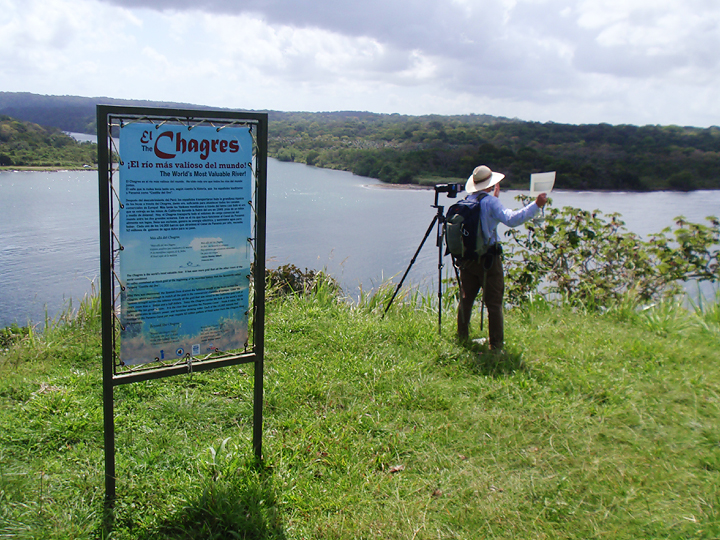
Byron preparing to photograph El Calvario, Santa María de Jesús, Guatemala (January 2005).
12017-04-07T18:24:17+00:00Annie K Johnson152f752dbfcb2c81f05e99e467f7916e055e23f355Photograph by Scott Brady.plain2017-05-02T14:24:51+00:00Annie K Johnson152f752dbfcb2c81f05e99e467f7916e055e23f3
This page is referenced by:
12017-04-07T19:36:27+00:00Looking at Landscapes7plain2017-05-02T14:23:45+00:00While Byron worked, I passed the time with local savants.
Meanwhile, I often wandered about with my own copies of Muybridge’s images. Frequently—whether in a town plaza, a cornfield, or at the mouth of the Rio Chagres—I met locals who were interested in the old photographs. Our shared interest led to pleasant encounters. Sometimes the locals explained the scenes that Muybridge captured. Sometimes they described the changes that had ensued. I appreciated their instruction. However, I most valued their attention to their landscapes.
The study of landscape is a fundamental component of geography that often is overshadowed by cartographic representations of human and physical patterns on Earth’s surface. I am reminded of this tendency every fall semester when I teach an upper division course called American Cultural Landscapes. My students are geography majors, usually in their last year of study. They have learned how to create geographic information systems that allow them to analyze spatial data. They can use software that allows them to create images of Earth’s surface.
I challenge my students to look at local landscapes and to describe them. I also give them historic photographs of local landscapes and ask them to explain what has happened. It is a challenge. Some students are uncomfortable being embedded in the object of study. They are accustomed to analyzing Earth from the confines of a computer lab. Others struggle with landscape description. They don’t have a vocabulary for what they are seeing in the landscape. Others wonder why they should be asked to look at a landscape.
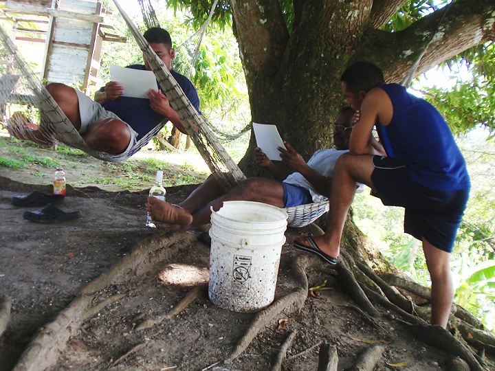
I suppose it is the last group that makes me value the men in hammocks pictured on this page. They allowed me to interrupt their gathering, listened to my spiel, looked at my pictures, shared their rum, and looked at their landscape.